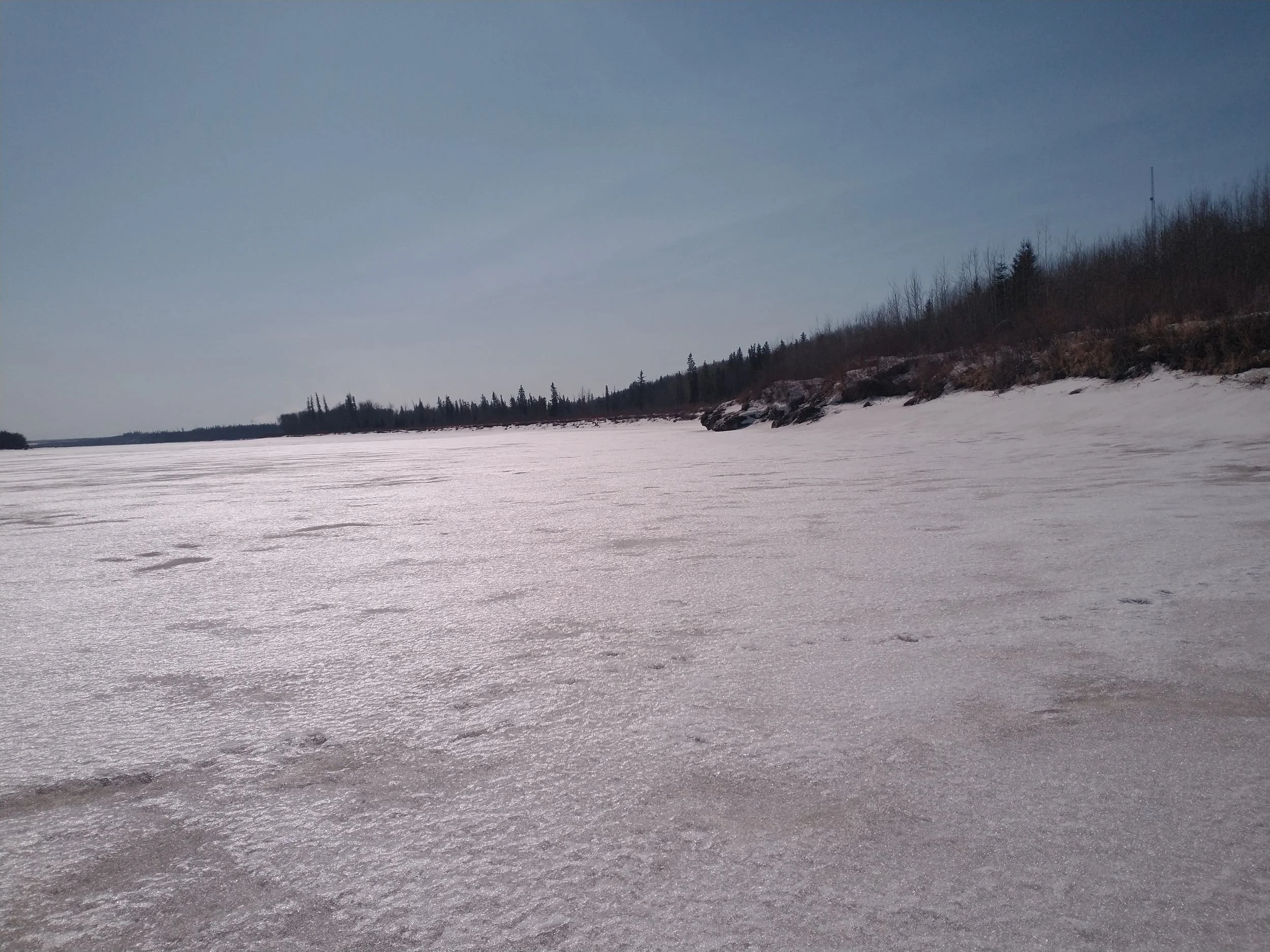
Lower Athabasca Region — Site LAR K4
This site is located on the McKay River near Fort McKay First Nation. Image taken at the site on 2023/04/06.
Water Monitoring Data
| Date | Water Temp (℃) | RDO-Oxygen (mg/L) | pH | Salinity (ppm) | Specific Conductivity (mS) | Total Dissolved Solids (ppm) | Air Temp (℃) |
|---|---|---|---|---|---|---|---|
| 2023-07-15 | 19.4 | 8.12 | 7.79 | 0.091 | 171.996 | 0.112 | 23.65 |
| 2022-10-20 | 7.4 | 11.71 | 7.55 | 0.158 | 332.55 | 0.216 | 16.56 |
| 2022-06-20 | 17.92 | 8.44 | 8.09 | 0.0983 | 206.382 | 0.134 | 18.32 |
Learn More
Learn more about our Community Water Monitoring program.
Learn more about the conditions we monitor and safe baselines.
Site Coordinates
57.18°, -111.63°