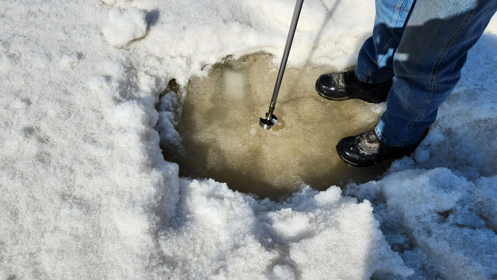
Lower Athabasca Region — Site LAR K3
This site is located on the McKay River near Fort McKay First Nation. Image taken at the site on 2023/04/06.
Water Monitoring Data
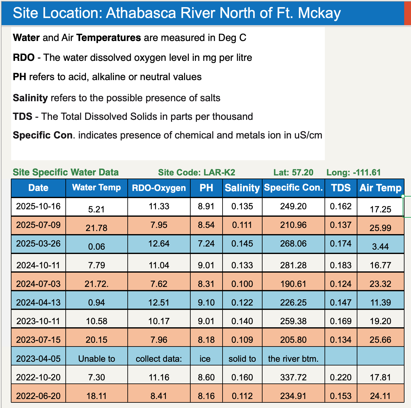
Site Coordinates
57.18°, -111.64°
Environmental Damage from Tailings Ponds
Check out this collaboration between Keepers of the Water and Environmental Defence! We dive into the alarming findings of our recent report, which mapped decades of the toxic takeover of Indigenous territories by “tailings ponds,” massive reservoirs of oilsands wastewater.
Want more info? Check out 50 Years of Sprawling Tailings, a report from Environmental Defence and the Canadian Parks and Wilderness Society (CPAWS).
Learn More
Learn more about our Community Water Monitoring program.
Learn more about the conditions we monitor and safe baselines.