Lower Athabasca Region — Site LAR K2
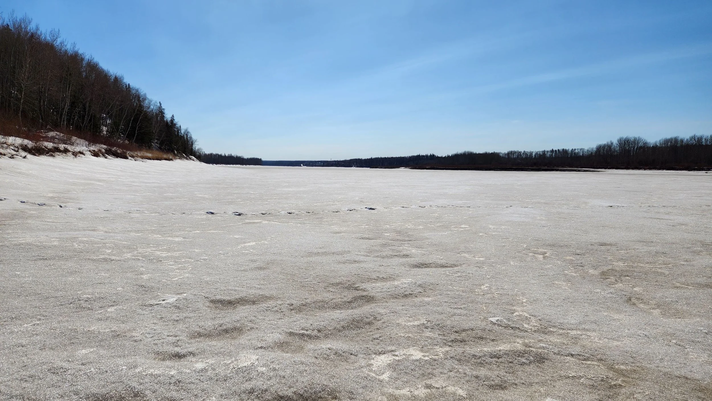
This site is located on the Athabasca River north of Fort McKay First Nation. Image taken on 2023/04/06.
Water Monitoring Data
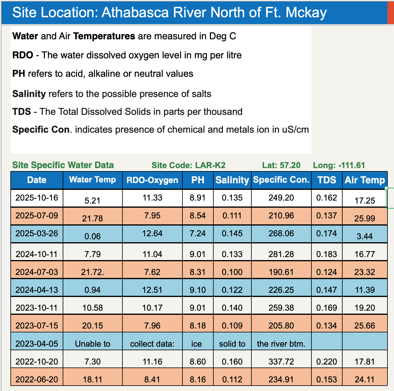
Site Coordinates
57.20°, -111.60°
Traditional Knowledge
To learn more about about the Denesuline language check out this video from the National Centre for Collaboration in Indigenous Education, featuring Margaret Renyolds of English River First Nation.
To learn more about about the Denesuline language check out this National Centre for Collaboration in Indigenous Education video featuring Margaret Reynolds of English River First Nation.
Learn More
Learn more about our Community Water Monitoring program.
Learn more about the conditions we monitor and safe baselines.