Central Athabasca Region — Site CAR H1
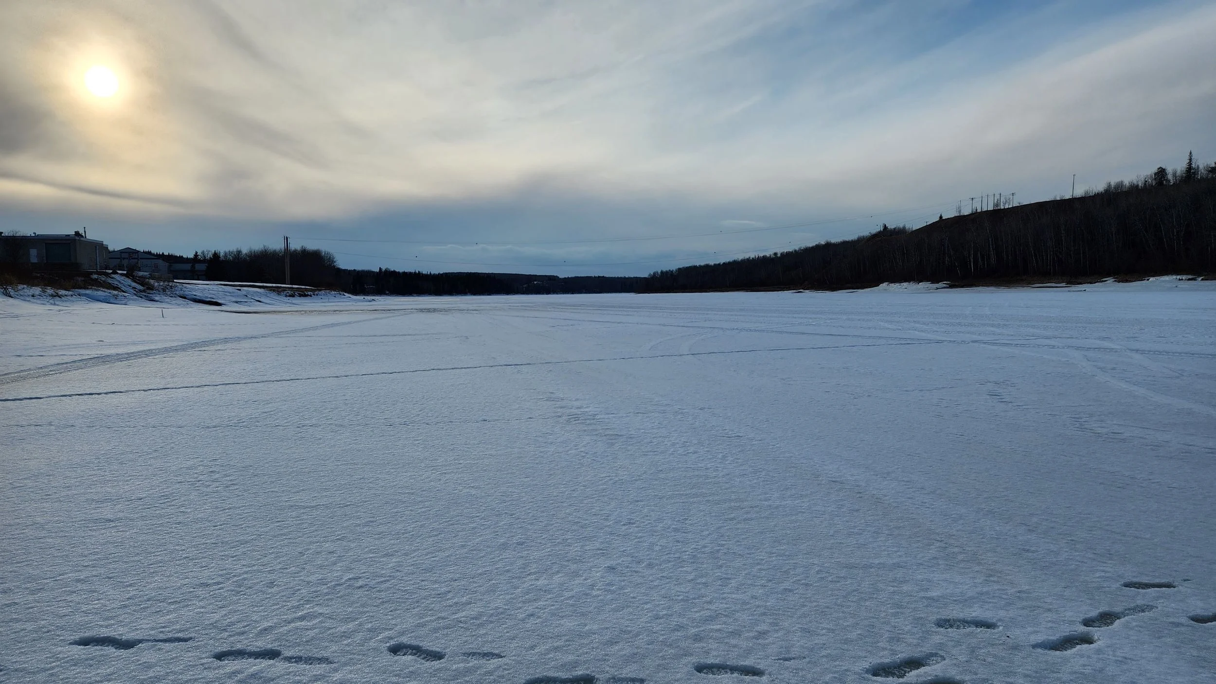
This site is located on the Athabasca River just upstream of the Town of Athabasca. Image taken on 2023/04/04.
Water Monitoring Data
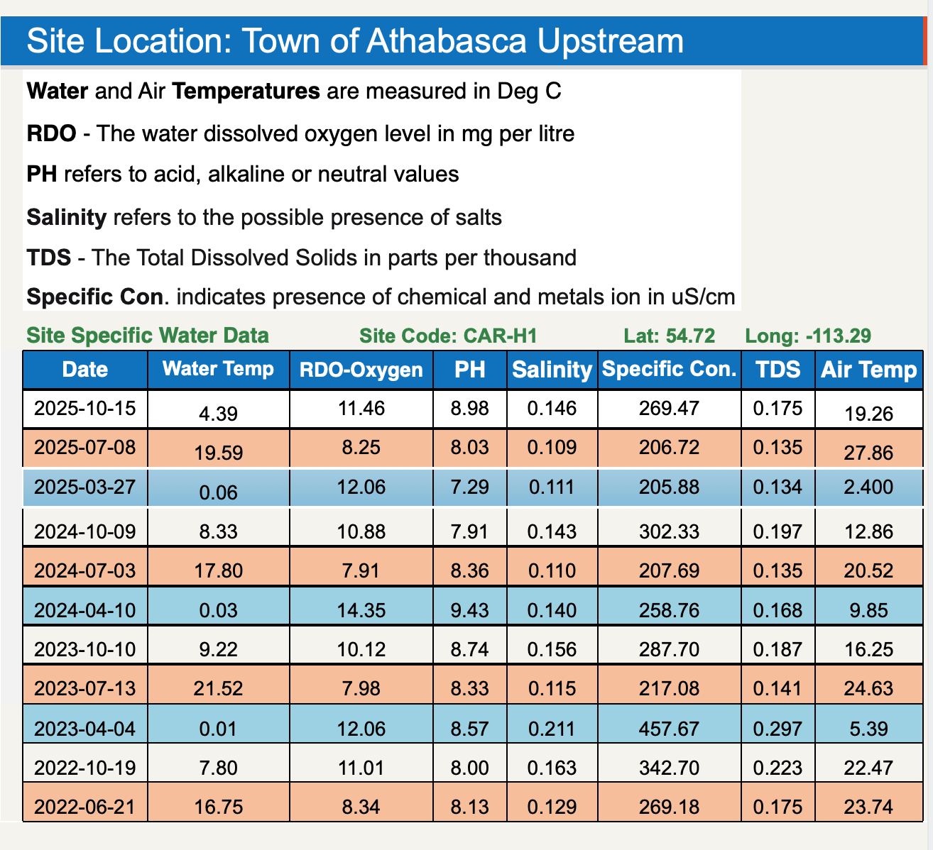
Site Coordinates
54.72°, -113.29°
Traditional Knowledge
Learn more about Sagow Pimachiwin - Plants and Animals used by Mikisew Cree First Nation for Food, Medicine and Materials in this PDF Guide Book prepared by the Centre for Indigenous Environmental Resources.
Learn More
Learn more about our Community Water Monitoring program.
Learn more about the conditions we monitor and safe baselines.